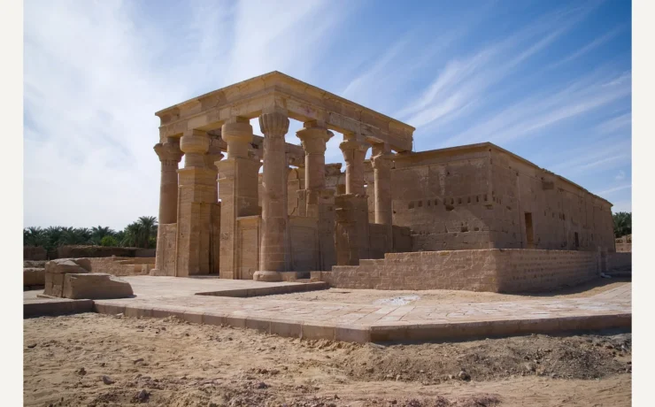
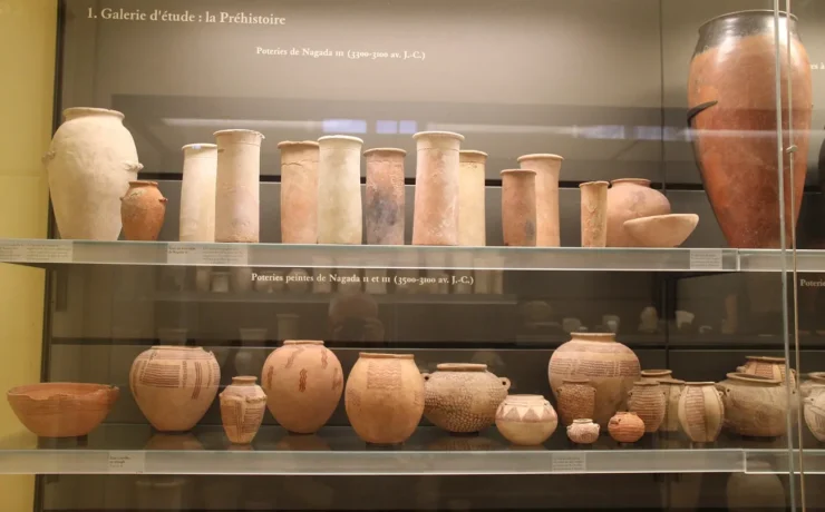
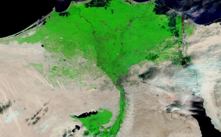
Put a pin on a map of ancient Egypt and it looks authoritative. An exact location, a neat label and perhaps a date: surely that tells you where history happened. Archaeology is rarely that tidy. The Nile has shifted its channels, harbors have filled with sediment, names have changed languages, and museum objects have sometimes travelled farther than the people who made them.
An archaeological atlas can help, but only if it explains what each dot actually represents. Is it a broad region, an excavated building, the point where one object was recovered, or a modern entrance for visitors? Those are different kinds of location. Mixing them up can create a convincing-looking map that tells the wrong story.
Start with four places that force us to read maps differently
The sites below stretch from the Red Sea to the Nile Valley. Each presents a different challenge: a shoreline that moved, a trading port occupied over centuries, a tomb landscape with many phases, and a cluster of objects now housed in a museum. Their coordinates alone cannot tell you what matters.
Mersa/Wadi Gawasis: the harbor that is no longer on the shore
Middle Kingdom expeditions departed from a Red Sea harbor known as Saww, near modern Mersa/Wadi Gawasis. Excavations led by Kathryn Bard and Rodolfo Fattovich uncovered ship timbers, ropes, stelae, equipment and rock-cut galleries. Boston University’s fieldwork account explains that the ancient harbor sat beside a sheltered embayment extending farther inland than today’s coastline. Plotting only the current beach would misrepresent where sailors loaded supplies thousands of years ago. Our Wadi Gawasis research dossier follows the ships and archaeological finds in detail.
Berenike: a trading port with a long history
Farther south, Berenike developed from a Ptolemaic harbor into a Roman-era center of exchange linking Egypt with Arabia, India and East Africa. The excavation project’s records describe buildings, harbor remains, inscriptions, trade goods and a remarkable animal cemetery. A single map marker obscures the site’s changing functions from the third century BCE through late antiquity. A better atlas identifies the period attached to each claim. See the separate Berenike port study for the objects behind the marker.
Deir el-Bersha: a landscape of tombs, not one monument
Deir el-Bersha, near Hermopolis in Middle Egypt, is known for rock-cut tombs and texts associated with elite Middle Kingdom burials. Its evidence includes the famous scene of transporting a large statue in the tomb of Djehutihotep. The Hermopolis research portal provides context for the wider burial landscape. One dot labelled ‘Deir el-Bersha’ cannot show which chamber, inscription or cemetery sector supports a particular interpretation. The Book of Two Ways research article examines one of the burial-text traditions associated with that area.
Meketre’s tomb: finding the object is not finding its full context
At Thebes, a hidden chamber in the tomb of Meketre preserved wooden models of boats, food production and estate life. Many are now in the Metropolitan Museum of Art. The museum’s model object records and excavation photographs preserve information about their original burial setting. A marker for the Met in New York identifies where one object can now be studied; a marker at the Theban tomb identifies its ancient archaeological context. Both are legitimate locations, but they answer different questions. Browse the Kemet Vault digital museum for material-centered exploration rather than attempting to infer a tomb’s plan from a display address.
These four case studies are regional research locators, not directions to individual excavation trenches or promises that the public may visit every working site.
Abydos: the difference between a findspot and a region
Abydos is a place where Egyptian archaeology stretches across many periods, from early royal burials to later religious monuments. A map that labels the whole area ‘Abydos, 3000 BCE’ erases the centuries of use that followed. The same mistake happens when a famous object is assigned the coordinates of an entire cemetery.
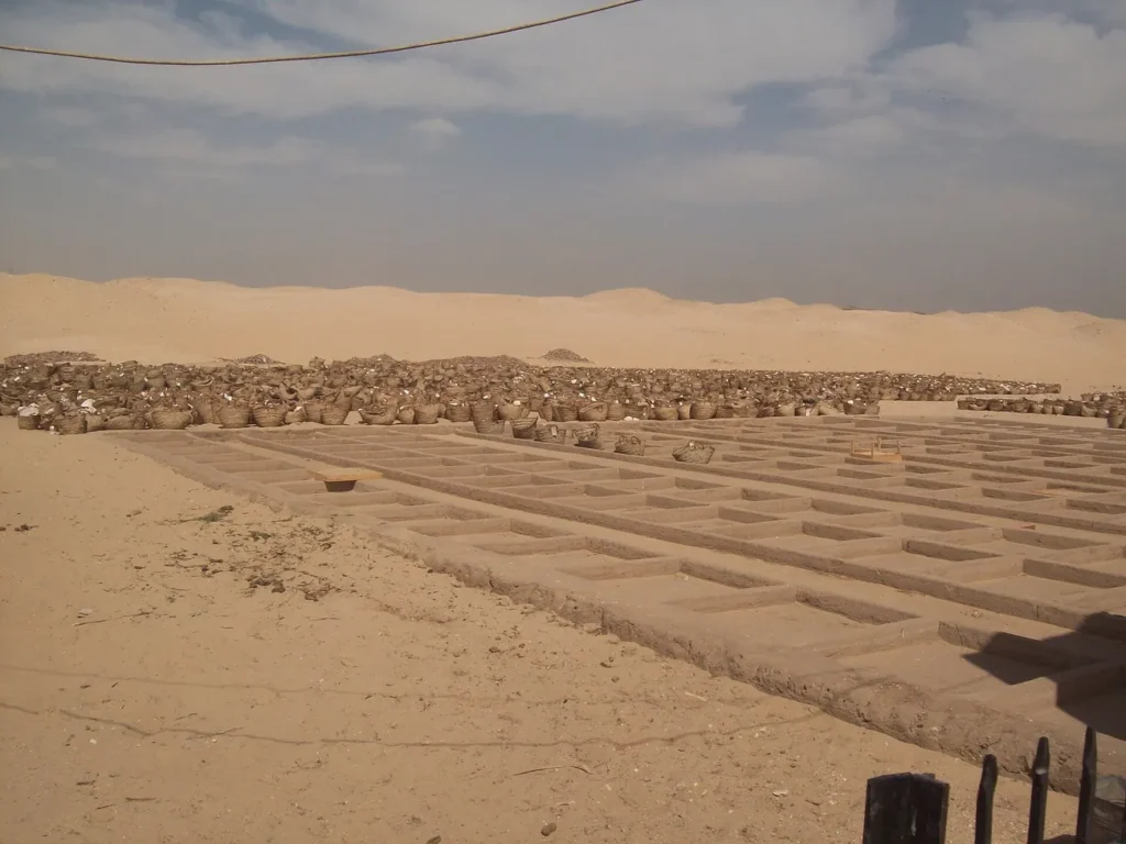
Archaeologists use site grids, plans, findspot numbers and stratigraphy to preserve the relationship among structures and objects. A portable label without its findspot may say something about writing; the same label recorded in a precise layer can also help date activity at that location. If the object moves to a museum, its present exhibition address should not replace the excavation record.
Our Abydos pilgrimage dossier explores a different historical layer: the way later Egyptians used a sacred landscape for commemoration. It belongs on the same regional atlas as the early royal burials, but not on the same chronological label.
Elephantine: one island, many frontiers
Elephantine, at the First Cataract near Aswan, shows how the meaning of a location can change even when the island itself remains recognizable. It was associated with settlement, trade and control of movement along the Nile, while its religious and administrative roles varied over time. Calling it simply ‘an ancient border fortress’ risks turning centuries of changing connections with Nubia into a single fixed political boundary.
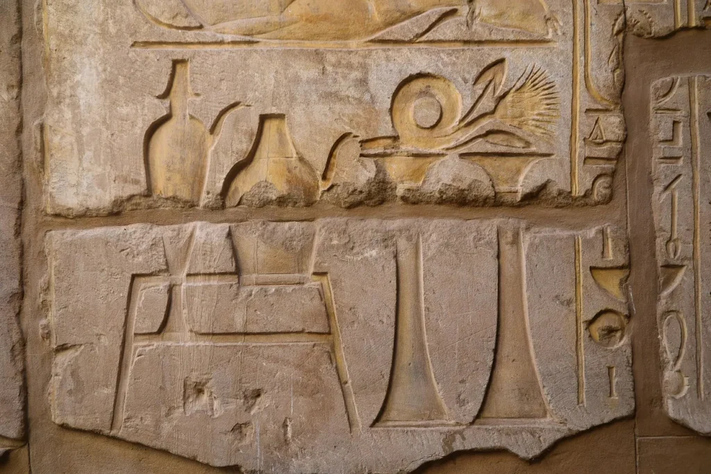
The island’s position at a cataract helps explain why people considered it strategically useful, but physical geography alone does not establish the limits of every ancient kingdom. Political borders are historical interpretations built from inscriptions, administrative evidence, settlements and military activity. An atlas should label the period and evidence for its frontier line rather than drawing one confident border across all of Egyptian history.
The Valley of the Kings: mountains are not tomb plans
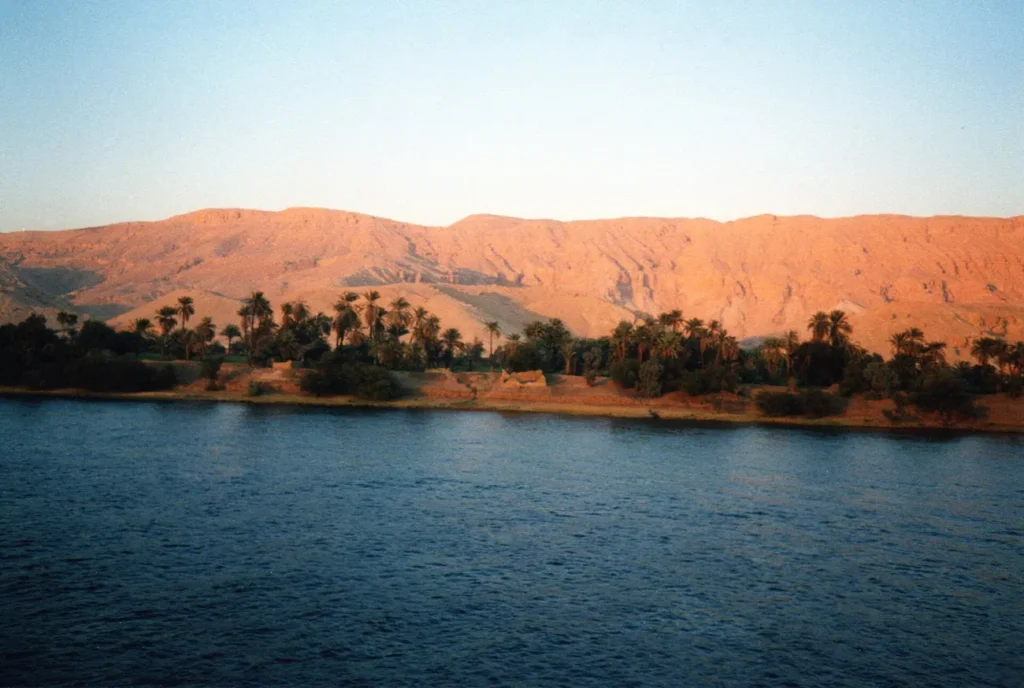
The Valley of the Kings provides a third lesson. A landscape photograph can show the dry valleys and mountains where New Kingdom rulers were buried. It cannot show the shape of a tomb beneath the rock or prove that a newly noticed shadow is an undiscovered doorway. To understand an individual tomb, researchers need surveyed plans, excavation records and documented architecture.
Consider Tutankhamun’s tomb, KV62. Its discovery involved a staircase, sealed doors and several rooms, details preserved by Howard Carter’s journal. Our dated KV62 discovery account explains that sequence. A pin labelled ‘Valley of the Kings’ is useful for orientation, but it doesn’t replace the position or plan of KV62 or the dated evidence from its excavation.
A practical way to read any archaeological map
Before trusting a plotted site, ask four questions. First, which period? A place may have been inhabited or reused for centuries. Second, which scale? A regional marker and an exact findspot are not interchangeable. Third, whose name? Modern Arabic names, ancient Egyptian names and later Greek forms may refer to related but not identical places. Finally, which source? Coordinates should be linked to excavation plans, museum documentation, survey publications or reliable site records.
| What the map says | What you should verify |
|---|---|
| “Ancient harbor” | Which phase of the coastline and which excavated harbor structures? |
| “Temple” | Which building phase, patron and surviving architectural part? |
| “Royal tomb” | Is the point a cemetery centroid, named tomb entrance or excavated chamber? |
| “Museum object” | Current holding institution or original excavated findspot? |
| “World Heritage boundary” | Modern protected-area polygon or actual ancient settlement limit? |
UNESCO publishes official maps for properties such as the Historic Cairo World Heritage Site and the Nubian Monuments. Those are modern heritage-management boundaries. They are valuable for understanding what is protected today, but they are not a direct map of an ancient empire. Likewise, satellite imagery can reveal terrain and patterns worth studying, not independently date an undated ruin.
For students and travelers: make a small record, not a false certainty
A useful personal atlas can start with a short entry for each site: modern place name, alternative historical names, approximate period, type of evidence, source link and confidence in the locator. Add a separate field for current visitor access, because an archaeological research site may be closed or difficult to reach. Changing those fields is better than forcing a speculative date or GPS coordinate into an apparently precise map.
For a place like Philae, the need for such a record becomes vivid: its ancient temple complex stands on a new island after a modern conservation relocation. The ancient location, current visitor location and rescued monument history are all part of the same story. An atlas that keeps them distinct has done its job.
Egypt’s archaeology is exciting because the land has changed and people have returned to the same places in different ways. The map should make those changes visible, not hide them under a neat but misleading dot.