When did Cairo Metro Line 1 open? Egypt’s first modern metro line began carrying passengers on its Helwan–Ramses section in 1987. A northern extension toward El Marg followed in April 1989, while New El Marg was added in a later phase. The current corridor measures approximately 44 kilometres, but that is not the length of the original 1987 opening section.
This evidence-led history examines why Cairo built the metro, the technical challenge of underground utility networks, and the difference between original and later interchanges. It uses official Egyptian metro and tunnels-authority records and two genuine, dated station photographs rather than imagined pictures of a 1987 inauguration.
Why Cairo began planning rapid urban rail
Cairo Metro Line 1 belongs to a different chapter of Egyptian transport history from the nineteenth-century Alexandria–Cairo railway. During the twentieth century, Greater Cairo grew into a vast metropolitan region, bringing increasing pressure on roads and existing surface transport. The Global Infrastructure Hub’s Cairo Metro case study explains that proposals for a metro had circulated by the 1930s, whereas detailed planning was pursued in the 1970s and early 1980s. This gap between early ideas and actual construction is important: a proposal is not the same as an open railway.
The first metro was intended to link places with substantial residential, industrial and employment activity along a north–south corridor. The design had to respond to the geography of a city with busy streets, established railway alignments, dense utilities and multiple administrative districts. The project was therefore not merely the construction of several underground platforms. It included surface sections, tunnels, stations, new controls and integration with older rail infrastructure. A technical history must describe how the pieces were combined rather than presenting the whole line as a tunnel dug beneath every neighbourhood.
From the 1982 works to the October 1987 opening
The Cairo Metro operator’s official historical page gives a specific first-phase chronology: construction work began in 1982 and the first stage was completed on 1 October 1987. That was the Helwan–Ramses portion of Line 1. The National Authority for Tunnels also identifies 1987 as the opening of this southern-to-central section. Short summaries that say Line 1 opened in 1987 are therefore substantially correct when they mean the first operating phase, not the later completed northern extension.
Different official summaries round the length of the first phase differently, some describing approximately 28 kilometres and others approximately 29. More detailed engineering tables may use still other measurement conventions depending on endpoints and tracks. A precise account should distinguish the dates of opening from approximate lengths, rather than copying a single number without explaining what was measured. What is well established is that the first service linked Helwan with a downtown rail interchange and marked a substantial new type of city transport.
Why 1989 also appears in metro timelines
The second major stage of Line 1 extended service northward from the Ramses area toward El Marg. Cairo Metro’s official history gives the completion date as 12 April 1989, while the National Authority for Tunnels records the northern extension as the second phase. Some accounts accordingly describe the line as fully operational in 1989. These statements need not be contradictory: 1987 refers to the original Helwan–Ramses stage, while 1989 marks the expanded through-route toward El Marg.
Chronology is especially vulnerable to misleading headlines because the phrase Cairo Metro opened could refer to the first passenger service, the completed initial corridor, or a later extension. An evidence-led page supplies the route and milestone with the date. For comparison, Kemet Vault’s study of Egypt’s first steam railway similarly distinguishes a contract, a partially operating section and a completed line. Transport history becomes more comprehensible when a year is attached to a precise event.
The 1999 extension to New El Marg
Line 1 did not stop changing in 1989. The National Authority for Tunnels identifies a third stage connecting El Marg with New El Marg, which its current route description dates to 1999. The present network reflects later improvements, including additional facilities and modifications to service arrangements. Therefore a 2026 schematic with New El Marg as the terminus should not be treated as a photograph of the original 1987 route.
The current operator lists the line as approximately 44 kilometres long, serving 35 stations. This is a present route description, not proof that 35 stations were open in the first phase. Some published older engineering reports use different figures for the northern extension; those differences should be tied to the date of the source. The core lesson is to distinguish the initial project from its successive expansions and operational adjustments over nearly four decades.
How a metro line uses both tunnels and surface track
Cairo Metro Line 1 is often described in everyday language as an underground railway. Yet the National Authority for Tunnels records that only around 4.7 kilometres of the approximately 44-kilometre corridor are underground, with five tunnel stations among a total of 35. This is an essential technical fact. An urban metro can be a rapid-transit system without staying beneath the ground for its entire length. Using existing corridors and building where space allowed helped the network link distant districts.
The mixture of surface and underground infrastructure also affected engineering. Underground work required protection or relocation of utilities and attention to existing buildings. Surface work involved stations, road crossings, electrification and signalling, as well as passenger access. A general statement that Cairo built a 44-kilometre tunnel is false even though the system is colloquially known as the Metro Underground. The source evidence supports a more specific and technically interesting picture.
Construction difficulties beneath central Cairo
The National Authority for Tunnels provides a detailed description of the challenge of finding and relocating water, sewage, electricity, telephone and gas lines in densely built areas. Many networks lacked the accurate maps that modern infrastructure planners might expect. The authority records accidental interruptions and the need to coordinate with specialist teams as work progressed. This documentary account helps explain why underground transport in an inhabited city involves more than laying rail or selecting a station name.
The authority also describes compensation and relocation where property acquisition became necessary. That makes the project part of social history as well as engineering history. The benefits of faster transport must be considered alongside the disruption borne by people living or operating businesses along the construction route. An article that speaks only of national prestige would conceal this cost. The source does not, however, justify inventing a uniform compensation amount or claiming that every affected household had an identical experience.
The institutions behind the metro
The National Authority for Tunnels was established by Egyptian law in 1983, as confirmed by its institutional history. Its responsibilities included studying, designing and implementing tunnel and metro projects. Operational functions later involved specialised companies responsible for passenger service. These entities should not be conflated: the organisation that designs and procures infrastructure may not be the company issuing today’s ticket or maintaining every train.
The authority describes coordinating more than seventeen contractors during the Line 1 project. Such coordination involved construction sequencing, utility diversion, rolling stock and control systems. A project of this type depends on many technical disciplines and Egyptian staff, not simply on a signed agreement with a foreign supplier. Naming the different institutional roles is a useful counterweight to promotional summaries in which a complex public investment appears to have been built by one contractor working in isolation.
Sadat and Al Shohada as interchanges
The metro’s development changed how passengers could move between major areas of Greater Cairo. The current official Line 1 operations guide identifies Sadat and Al Shohada as interchanges with Line 2, while Nasser provides interchange with Line 3. Those modern connections were added through later line projects; they should not be imagined as fully functioning transfer arrangements on opening day in 1987. A network emerges through successive corridors, rather than all at once.
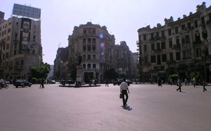
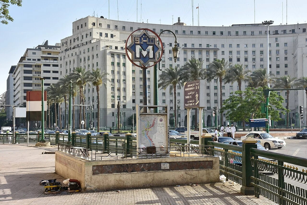
The first documentary photo accompanying this article shows Sadat Station in 2015. It is a genuine photograph by MusikAnimal, with an original Wikimedia Commons source and Creative Commons Attribution-ShareAlike 4.0 terms. Its correct role is to document the later state of an important station and interchange. It is not an archival image of the first 1987 passenger service. The distinction makes the photograph more useful because it accurately identifies what the viewer can see.
Helwan: the southern end of the first line
Helwan was the southern end of the original first stage and remains a central reference point in descriptions of Line 1. The operator’s history links the corridor to industrial and educational activity around Helwan and downtown Cairo. A direct rapid-transit route helped establish a more predictable connection for commuters, although the time and reliability of any specific modern trip must be checked against current service.
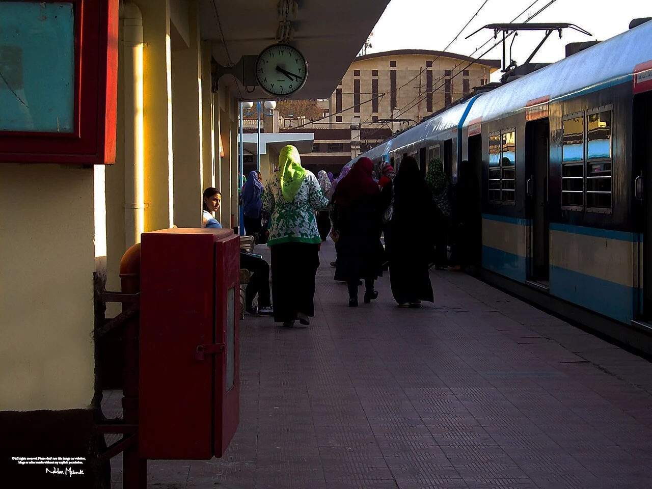
The second original photograph shows Helwan Metro Station in April 2010, taken by Nourhan Moubarak. Its site-specific caption and licence record establish that it is a genuine view of the first line’s southern terminus. The station’s appearance in 2010 cannot be presented as identical to its facilities in 1987. Changes in trains, platforms and signage are expected over decades of use. Both photographs serve as documentary views, not a fabricated historical reconstruction.
How Line 1 differs from later metro lines
Line 2 opened in stages beginning in the 1990s, while Line 3 entered operation later still. The National Authority for Tunnels provides current institutional descriptions of each corridor. Their construction techniques, routes, interchanges and passenger needs differ. The first line should not be characterised as if every present station in Greater Cairo was part of its original route. Equally, the launch of new projects does not erase the continuing historical importance of the earlier Helwan corridor.
Urban rail planning remains an evolving process. Future extensions, line names and opening targets can change, so this historical article avoids treating an undated proposed route as a completed 2026 service. The reliable facts are the chronology and role of Line 1 as documented by the operator and the tunnels authority. For actual travel, consult the operator’s current route and operational notices. The distinction between historical infrastructure and passenger instructions protects readers from confusing a research article with a live timetable.
Why public transport belongs in modern Egyptian history
A museum or a palace may be easier to photograph than an everyday transport network, but the metro has influenced how large numbers of people experience Cairo. It is part of a wider history of urban growth, commuting, technical professions and public-service investment. The line’s stations connect districts with different histories, while the need for efficient travel reflects changes in employment, education and the geography of the metropolis.
Cairo’s development cannot be told solely through elite monuments. The metro’s engineering, the utility disruptions of construction and the long evolution of its route all reveal interactions between the state and ordinary urban life. The modern Cairo architecture and public-spaces dossier and the Cairo Tower history provide related but different views of the twentieth-century city. Each article supports a separate research intent.
How to read the numbers and photographs responsibly
The most dependable basic chronology is first-stage construction beginning in 1982, the Helwan–Ramses opening on 1 October 1987, the northern extension in April 1989 and a later stage to New El Marg. Current operator figures of around 44 kilometres and 35 stations describe a developed line. Historical publications may quote other lengths because they refer to a particular phase or use different measurement conventions. They should be read with their dates attached.
Photographs taken in 2010 and 2015 show real stations after subsequent decades of use; they are not evidence of what opening ceremonies or passenger clothing looked like in 1987. Likewise, a 1980s construction drawing cannot describe the entire current transport network. Historical accuracy requires matching each type of evidence to the question it can answer. The line’s achievement deserves to be understood through that clear chronology rather than unsupported numbers or unrealistic images.
Official railway and engineering sources
The date and route sequence are based on Cairo Metro’s official history and Line 1 current operations summary. Engineering, station and construction details come from the National Authority for Tunnels’ Line 1 history and its institutional history. The Global Infrastructure Hub case study provides independent project context. Dates in the photo captions describe later photographic records, not original construction evidence.